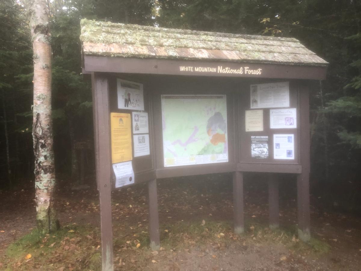
Mount Jefferson - Caps Ridge Trail - Castle - The Link
Jefferson
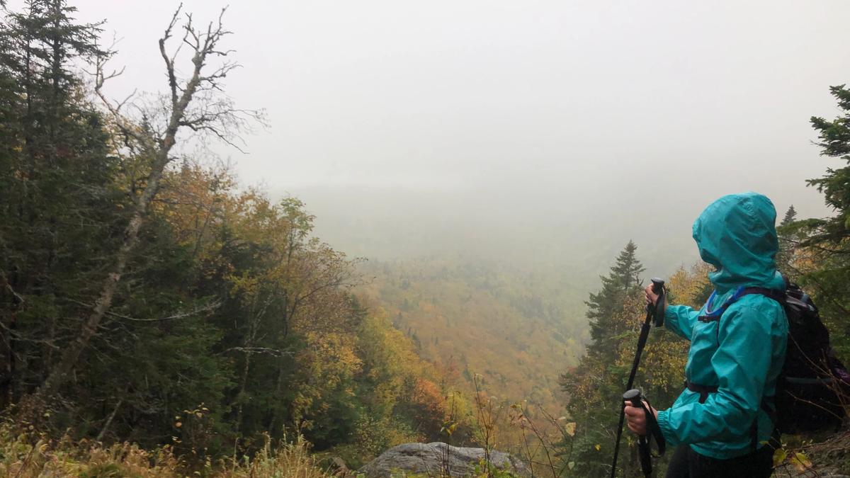
Mount Jefferson, standing at 5,712 feet is the third highest mountain in NH. This was by far one of my most miserable hiking experiences but nonetheless an experience. The forecast was cold and rainy all day. We started our ascent up the caps ridge trail at 7:30 in the morning. It was lightly drizzling and we knew it would be a high chance of not reaching the summit and to turn back if it was to risky.
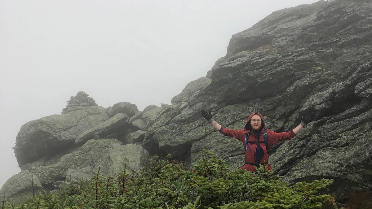
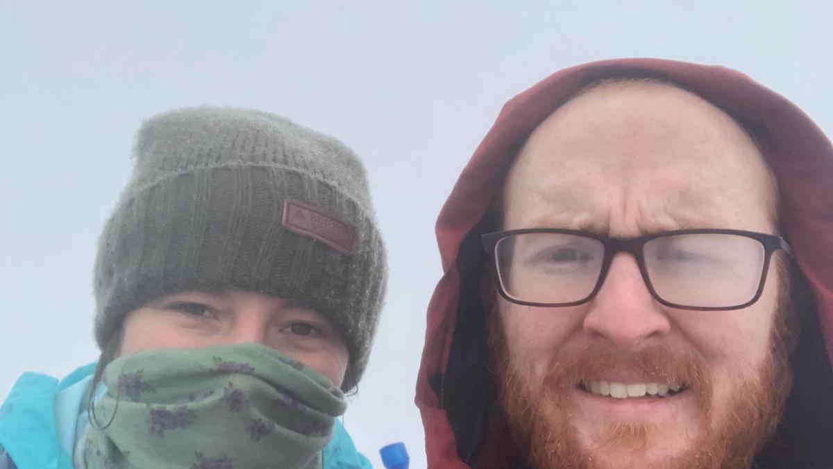
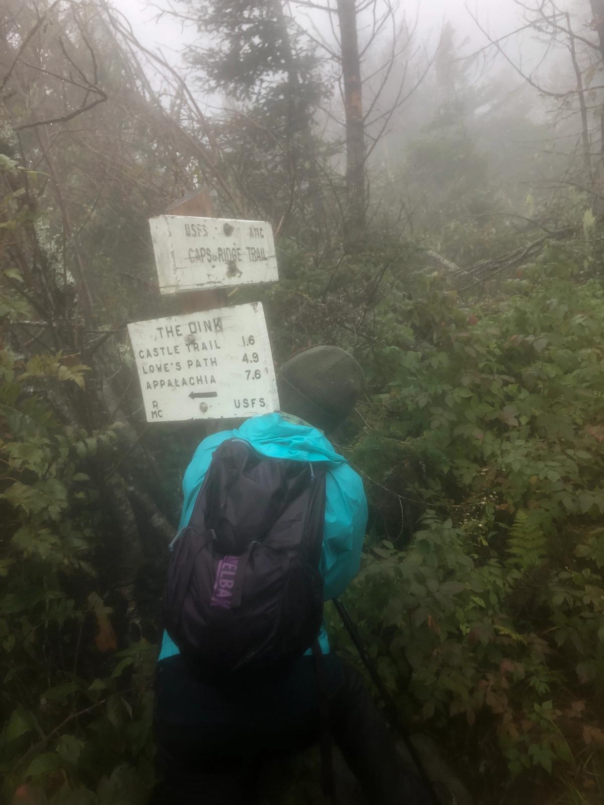
We reached the view point where you can also choose to continue up the caps which is a shorter route to the summit but also involves some rock climbing or take the link trail to castle to the summit. We were feeling good and decided to go up the caps. There are three major caps that you have to climb up. On a warm non rainy day this would be a cake but we were past the tree line at this point so we were exposed to the rain and it made the rocks slick. The visibility started to get pretty bad the closer we got to the summit. The cairns were getting tricky to see and last couple miles to the top were a blur as the wind started picking up and the visibility was nothing and we could not see what was ten feet in front of us. The rocks had specks of snow and ice on them which made things difficult while trying to balance from the wind trying to push you up the mountain. We made it to the rocky summit in 2:34:01.
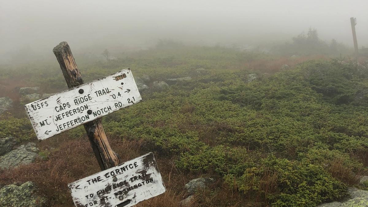
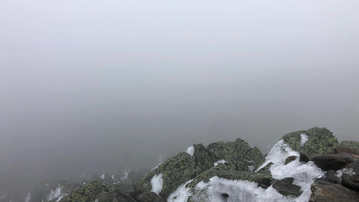
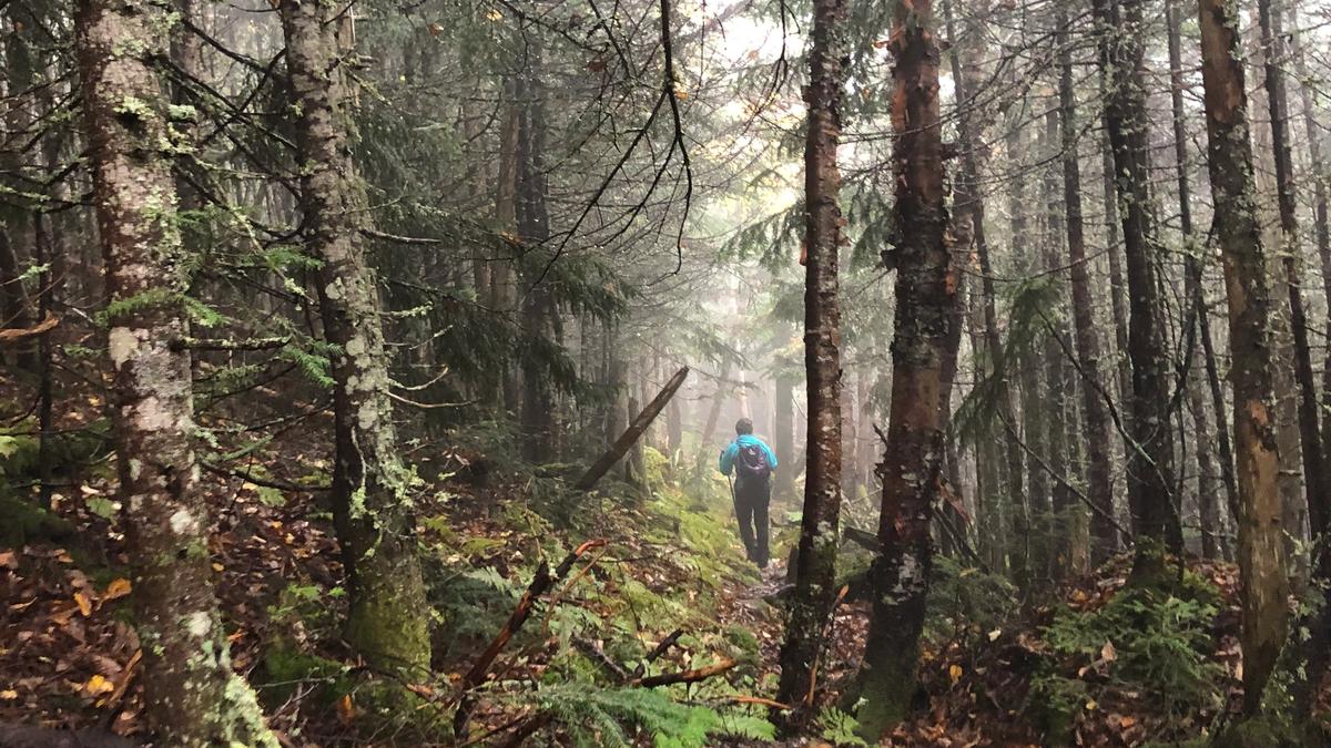
We could not stay up long and we were already dreading the descent. It was freezing cold and our hands were pretty numb and not working properly. The rain turned into freezing rain and sleet which made the rocks impossible. We decided to not go down the caps thinking that was the logical decision and made our way to castle trail. We had to stop and hide behind the cairns to get away from the wind and put our hands down our pants to warm them up. We could barley spot the cairns and had to use GPS to make sure we were still on trail. The rocks were maddening and I slipped a couple times and fell hard on my right hand side. At this point we were soaked and chilled. We had no choice but to push on because if we rested we had a high chance of getting frost bite. As we finally made it back into the tree line the rain really started to pour down. We thought the trail would get easier but we were wrong. It was an agonizing steep trail down, on the side of a cliff. I could not wait to get off the mountain at this point and we were about 3 hours into our decent. We reached the link trail and I was relived that this would be our break from the day. I could not have been more wrong. I have no desire to ever take this trail again. It was a skinny trail on the side of a cliff that was almost completely overgrown. One wrong step could result in either falling down into underground caves or off the cliff. It was awful and trail was so tight that the trees soaked us to the bone.
After the longest 2 hours of my hiking life we made it back to the view point and I was so grateful to see the sign I gave it a hug.
We made our final descent back down the caps ridge trail and finished our long day in 6:50:01 and did a total of 5.91 miles.
I was so happy to get back to the car to change into dry warm clothes and feel the heat. This hike could have easily gone a lot worse if we did not come as prepared as we did. We had rain gear on and winter clothes and we still got our asses kicked by mother nature. The White Mountains are no joke and we are lucky we got back to our car safely. We always have a survival kit, space blankets, fist aid, extra socks and head lamps when we are hiking in the whites.
Thankfully we only had some minor slips and we started early enough that we still had plenty of daylight by the time we got back to the car. I would love to do this hike again on a clear weather day and preferably when it is a little warmer out but I will be taking the caps trail back down!